
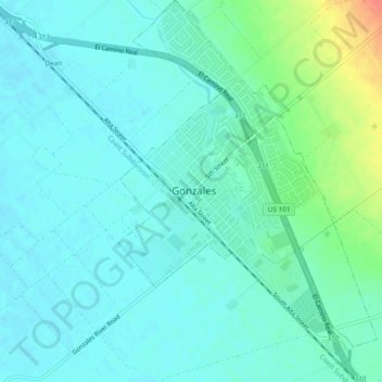
Gonzales topographic map
Interactive map
Click on the map to display elevation.
About this map
Name: Gonzales topographic map, elevation, terrain.
Location: Gonzales, Monterey County, California, United States (36.48895 -121.45411 36.52706 -121.42196)
Average elevation: 45 m
Minimum elevation: 34 m
Maximum elevation: 83 m
Gonzales is a city in Monterey County, California, United States. Gonzales is located 16 miles (26 km) southeast of Salinas, at an elevation of 135 feet (41 m). The population was 8,187 at the 2010 census, up from 7,525 at the 2000 census. Gonzales is a member of the Association of Monterey Bay Area Governments. Gonzales won the Culture of Health Prize from the Robert Wood Johnson Foundation in 2019.