Geolocate

Les Chalons topographic map

Click on the map to display elevation.

About this map
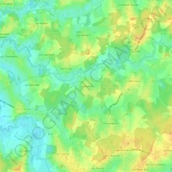
Name: Les Chalons topographic map, elevation, terrain.

Location: Les Chalons, Sagy, Louhans, Saône-et-Loire, Bourgogne-Franche-Comté, France métropolitaine, 71580, France (46.60025 5.29376 46.64025 5.33376)

Average elevation: 196 m

Minimum elevation: 181 m

Maximum elevation: 210 m

Other topographic maps

Click on a map to view its topography, its elevation and its terrain.

Gear up for your next adventure:

❄️Traction Ice Cleats - Slip-on spikes for icy trails and winter hiking
🔦LED Flashlight - Powerful and long-lasting flashlight for camping and emergencies
💧Filtered Water Bottle - Safe drinking water on the go
🧥Ultralight Puffy Jacket - Maximum warmth that packs down to the size of an orange
🥾Trail Hiking Shoes - Durable shoes designed for rugged trails

As an Amazon Associate, this site earns from qualifying purchases at no extra cost to you.