
Danasan topographic map
Click on the map to display elevation.
About this map
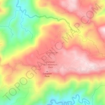
Name: Danasan topographic map, elevation, terrain.
Location: Danasan, Danao, Cebu, Central Visayas, Philippines (10.53991 123.83609 10.57991 123.87609)
Average elevation: 370 m
Minimum elevation: 90 m
Maximum elevation: 590 m
Other topographic maps
Click on a map to view its topography, its elevation and its terrain.