Geolocate

Longcheng topographic map

Click on the map to display elevation.

About this map

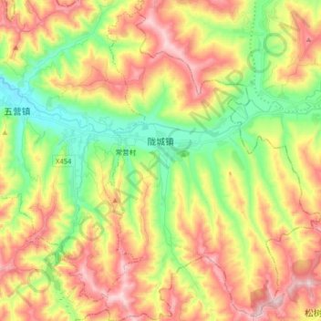
Name: Longcheng topographic map, elevation, terrain.

Location: Longcheng, Qin'an County, Tianshui, Gansu, China (34.92795 105.94338 35.05965 106.05217)

Average elevation: 1,662 m

Minimum elevation: 1,442 m

Maximum elevation: 1,925 m

Gear up for your next adventure:

Camping Tent - Weather-resistant tents suitable for 2 to 6 people
🥾Lightweight Hiking Shoes - Comfortable shoes for day hikes
🧤Insulated Winter Gloves - Heavy-duty protection for sub-zero Canadian adventures
🥾Approach Boots - Comfortable boots for hiking and climbing approaches
🧴Insect Repellent - Protect yourself from bugs during outdoor adventures

As an Amazon Associate, this site earns from qualifying purchases at no extra cost to you.