Geolocate

Golling topographic map

Click on the map to display elevation.

About this map

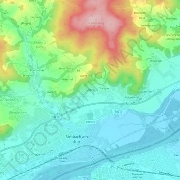
Name: Golling topographic map, elevation, terrain.

Location: Golling, Kirchberg am Inn, Simbach, Landkreis Rottal-Inn, Bayern, 84359, Deutschland (48.25717 13.01245 48.29717 13.05245)

Average elevation: 397 m

Minimum elevation: 334 m

Maximum elevation: 555 m

Other topographic maps

Click on a map to view its topography, its elevation and its terrain.

Gear up for your next adventure:

🥾Waterproof Trail Shoes - Shoes designed to handle wet terrain
🚲Heavy Duty Bike Lock - Secure your bike at the trailhead or during stops
🧢Hiking Sun Hat - Wide-brimmed protection for exposed mountain ridges
💡Portable Camping Lamp - Rechargeable lamp for campsite lighting
🕯️Camping Lantern - Illuminates your entire campsite with high-efficiency LEDs

As an Amazon Associate, this site earns from qualifying purchases at no extra cost to you.