
Nonthaburi Province topographic map
Interactive map
Click on the map to display elevation.
About this map
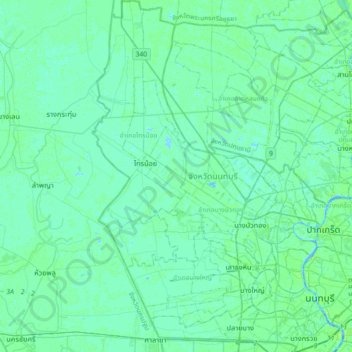
Name: Nonthaburi Province topographic map, elevation, terrain.
Location: Nonthaburi Province, Thailand (13.78907 100.25626 14.14067 100.56761)
Average elevation: 4 m
Minimum elevation: -4 m
Maximum elevation: 18 m
Other topographic maps
Click on a map to view its topography, its elevation and its terrain.
Pak Kret City Municipality
Thailand > Nonthaburi Province > Pak Kret District
Pak Kret City Municipality, Pak Kret District, Nonthaburi Province, 11120, Thailand
Average elevation: 5 m
Mueang Nonthaburi District
Thailand > Nonthaburi Province
Mueang Nonthaburi District, Nonthaburi Province, 11000, Thailand
Average elevation: 5 m
Bang Yai District
Thailand > Nonthaburi Province
Bang Yai District, Nonthaburi Province, 11140, Thailand
Average elevation: 4 m
Bang Si Thong
Thailand > Nonthaburi Province > Bang Si Thong
Bang Si Thong, Bang Kruai District, Nonthaburi Province, 11130, Thailand
Average elevation: 5 m