
Cần Thơ topographic map
Interactive map
Click on the map to display elevation.
About this map
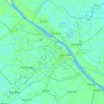
Name: Cần Thơ topographic map, elevation, terrain.
Location: Cần Thơ, Ninh Kiều District, Can Tho City, 94111, Vietnam (9.87642 105.62752 10.19642 105.94752)
Average elevation: 3 m
Minimum elevation: -3 m
Maximum elevation: 12 m