
Rehr topographic map
Interactive map
Click on the map to display elevation.
About this map
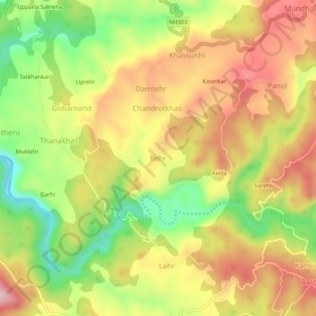
Name: Rehr topographic map, elevation, terrain.
Location: Rehr, Baroh, Kangra, Himachal Pradesh, 176037, Inde (31.99381 76.27061 32.03381 76.31061)
Average elevation: 646 m
Minimum elevation: 519 m
Maximum elevation: 758 m