
Lalla topographic map
Interactive map
Click on the map to display elevation.
About this map
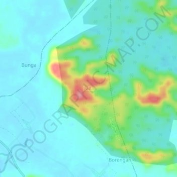
Name: Lalla topographic map, elevation, terrain.
Location: Lalla, Simeulue Cut, Simeulue, Aceh, Indonésie (2.59330 95.91765 2.63330 95.95765)
Average elevation: 22 m
Minimum elevation: 0 m
Maximum elevation: 108 m