
Make a donation
Gear up for your next adventure:
As an Amazon Associate, this site earns from qualifying purchases at no extra cost to you.
Golmud topographic map
Click on the map to display elevation.
Make a donation
Gear up for your next adventure:
As an Amazon Associate, this site earns from qualifying purchases at no extra cost to you.
About this map
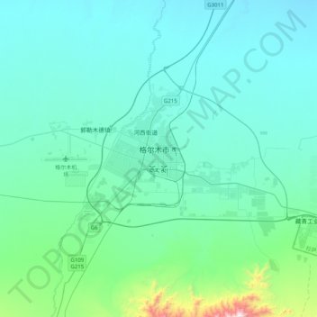
Name: Golmud topographic map, elevation, terrain.
Average elevation: 2,862 m
Minimum elevation: 2,727 m
Maximum elevation: 3,925 m
Make a donation
Gear up for your next adventure:
As an Amazon Associate, this site earns from qualifying purchases at no extra cost to you.
Other topographic maps
Click on a map to view its topography, its elevation and its terrain.
Tanggulashan
The Tanggula settlement, also known as Marquwo, Tuotuoheyan, or Togtogquwo, is located at 4,535 metres (14,879 ft) above sea level in the central part of Tanggula Mountains, as the town's name indicates. The town's area includes the Geladaindong Peak, a mountain which stands at 6,621 metres (21,722 ft) in…
Average elevation: 4,571 m