
Parque Rosado topographic map
Click on the map to display elevation.
About this map
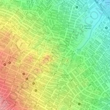
Name: Parque Rosado topographic map, elevation, terrain.
Location: Parque Rosado, Barranquilla, Atlántico, Caribe, Colombia (11.00688 -74.80939 11.00772 -74.80857)
Average elevation: 60 m
Minimum elevation: 2 m
Maximum elevation: 120 m
Other topographic maps
Click on a map to view its topography, its elevation and its terrain.
Ciénaga de Mallorquín
Colombia > Atlántico > Barranquilla > Eduardo Santos - La Playa
Average elevation: 2 m