
Carpentersville topographic map
Interactive map
Click on the map to display elevation.
About this map
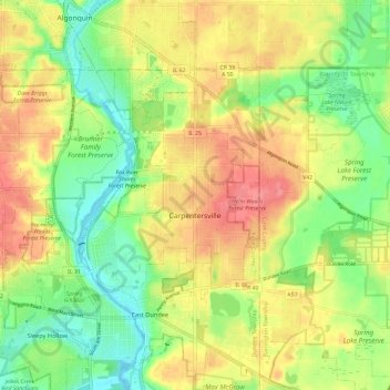
Name: Carpentersville topographic map, elevation, terrain.
Location: Carpentersville, Kane County, Illinois, VS (42.10268 -88.35937 42.14873 -88.24137)
Average elevation: 253 m
Minimum elevation: 217 m
Maximum elevation: 291 m