Geolocate

Condesa topographic map

Click on the map to display elevation.

About this map

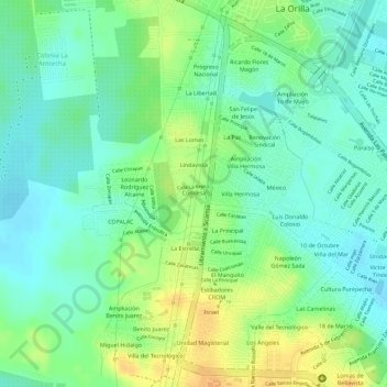
Name: Condesa topographic map, elevation, terrain.

Location: Condesa, Lázaro Cárdenas, Michoacán, Mexico (17.98592 -102.23532 17.98705 -102.23284)

Average elevation: 19 m

Minimum elevation: 5 m

Maximum elevation: 38 m

Gear up for your next adventure:

🧴Bear Spray Holster - Quick-access carry for essential Canadian wilderness safety
🛰️Satellite Messenger - Emergency communication for areas with no cell service
🛶Waterproof Dry Bags - Keep electronics and clothes dry during river crossings
🧢Outdoor Visor - Breathable visor for sunny hikes
Lightweight Backpacking Tent - Compact tent for efficient hiking trips

As an Amazon Associate, this site earns from qualifying purchases at no extra cost to you.