
Kieyo topographic map
Interactive map
Click on the map to display elevation.
About this map
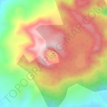
Name: Kieyo topographic map, elevation, terrain.
Location: Kieyo, Rungwe, Mbeya, Southern Highlands Zone, Tanzanie (-9.23115 33.79167 -9.23105 33.79177)
Average elevation: 1,974 m
Minimum elevation: 1,723 m
Maximum elevation: 2,167 m
Other topographic maps
Click on a map to view its topography, its elevation and its terrain.