
Zapote topographic map
Interactive map
Click on the map to display elevation.
About this map
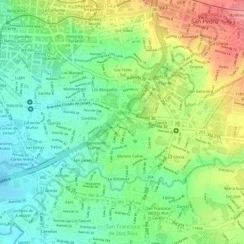
Name: Zapote topographic map, elevation, terrain.
Location: Zapote, Cantón San José, Provincia San José, 10105, Costa Rica (9.91276 -84.07166 9.92792 -84.04680)
Average elevation: 1,172 m
Minimum elevation: 1,134 m
Maximum elevation: 1,224 m