Geolocate

Manikaran topographic map

Click on the map to display elevation.

About this map
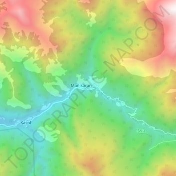
Name: Manikaran topographic map, elevation, terrain.

Location: Manikaran, Bhuntar, Kullu, Himachal Pradesh, 175105, India (31.98732 77.30641 32.06732 77.38641)

Average elevation: 2,641 m

Minimum elevation: 1,514 m

Maximum elevation: 4,359 m

Gear up for your next adventure:

🔥Camping Stove - Portable stoves to cook outdoors with ease
🧭GPS Outdoor Watch - Smart watch for navigation and fitness tracking in nature
⛺Lightweight Backpacking Tent - Compact tent for efficient hiking trips
🐕Hiking Dog Pack - Let your canine companion carry their own water and food
🦶Hiking Shoe Insoles - Added support for high arches and long days on feet

As an Amazon Associate, this site earns from qualifying purchases at no extra cost to you.