Geolocate

Moreno topographic map

Click on the map to display elevation.

About this map
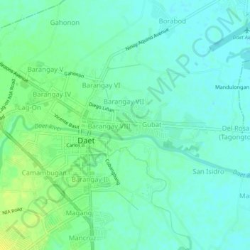
Name: Moreno topographic map, elevation, terrain.

Location: Moreno, Daet, Camarines Norte, Bicol Region, 4600, Philippines (14.09476 122.94217 14.13476 122.98217)

Average elevation: 7 m

Minimum elevation: 0 m

Maximum elevation: 18 m

Other topographic maps

Click on a map to view its topography, its elevation and its terrain.

Bagasbas Beach

Philippines > Camarines Norte > Daet > Bagasbas

Average elevation: 1 m

Gear up for your next adventure:

💧Hydration Pack - Hands-free hydration system for long hikes
🥾Trail Hiking Boots - Supportive boots for rough trails
🎒Hiking Backpack - Lightweight and ergonomic backpacks for day hikes or multi-day treks
🛰️Satellite Messenger - Emergency communication for areas with no cell service
🦯Trekking Poles - Reduced impact on joints for steep topographic climbs

As an Amazon Associate, this site earns from qualifying purchases at no extra cost to you.