Geolocate

Marcahuasi topographic map

Click on the map to display elevation.

About this map

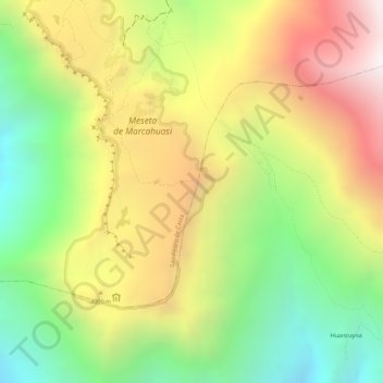
Name: Marcahuasi topographic map, elevation, terrain.

Location: Marcahuasi, San Pedro de Casta, Huarochirí, Lima, Perú (-11.79076 -76.57129 -11.79066 -76.57119)

Average elevation: 3,787 m

Minimum elevation: 3,261 m

Maximum elevation: 4,319 m

Gear up for your next adventure:

💧Reusable Water Bottle - Durable water bottles for hydration on trails
🥾Trail Running Boots - Durable shoes designed for trail running
🥾Waterproof Hiking Shoes - Durable shoes for wet and rugged trails
🎒Hiking Backpack - Lightweight and ergonomic backpacks for day hikes or multi-day treks
🧢Outdoor Cap - Protective cap for sun and rain during hikes

As an Amazon Associate, this site earns from qualifying purchases at no extra cost to you.