
Hoenzadriel topographic map
Interactive map
Click on the map to display elevation.
About this map
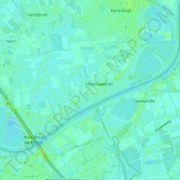
Name: Hoenzadriel topographic map, elevation, terrain.
Location: Hoenzadriel, Maasdriel, Geldern, Niederlande (51.73672 5.28322 51.76696 5.35399)
Average elevation: 4 m
Minimum elevation: -4 m
Maximum elevation: 14 m
Other topographic maps
Click on a map to view its topography, its elevation and its terrain.
Heerewaarden
Niederlande > Geldern > Maasdriel
Heerewaarden, Maasdriel, Geldern, Niederlande
Average elevation: 5 m
Ammerzoden
Niederlande > Geldern > Maasdriel
Ammerzoden, Maasdriel, Geldern, Niederlande
Average elevation: 3 m