Geolocate

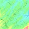
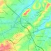
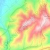
Gray topographic map

Click on the map to display elevation.

About this map
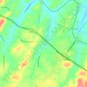
Name: Gray topographic map, elevation, terrain.

Location: Gray, Washington County, East Tennessee, Tennessee, United States (36.39300 -82.49595 36.43251 -82.46272)

Average elevation: 476 m

Minimum elevation: 428 m

Maximum elevation: 539 m

Other topographic maps

Click on a map to view its topography, its elevation and its terrain.
Telford

United States > Tennessee > Washington County

Average elevation: 490 m

Limestone

United States > Tennessee > Washington County

Average elevation: 447 m

Hale

United States > Tennessee > Washington County

Average elevation: 539 m

Gladstone

United States > Tennessee > Washington County

Average elevation: 476 m

Limestone

United States > Tennessee > Washington County

Average elevation: 447 m

Limestone

United States > Tennessee > Washington County

Average elevation: 447 m

Gear up for your next adventure:

🔦LED Flashlight - Powerful and long-lasting flashlight for camping and emergencies
🛏️Sleeping Bag - Warm and compact sleeping bags for outdoor camping
🧥Softshell Jacket - Windproof and breathable jacket for hiking
🧦Merino Wool Socks - Moisture-wicking comfort for long-distance hiking
🥘Camping Cookware Set - Compact nesting pots and pans for trail cooking

As an Amazon Associate, this site earns from qualifying purchases at no extra cost to you.