
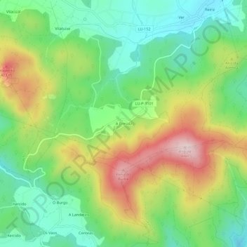
A Ermida topographic map
Interactive map
Click on the map to display elevation.
About this map
Name: A Ermida topographic map, elevation, terrain.
Location: A Ermida, Lugo, Galicia, España (43.50797 -7.34968 43.54797 -7.30968)
Average elevation: 222 m
Minimum elevation: 60 m
Maximum elevation: 478 m