
Make a donation
Gear up for your next adventure:
As an Amazon Associate, this site earns from qualifying purchases at no extra cost to you.
Volk Field topographic map
Click on the map to display elevation.
Make a donation
Gear up for your next adventure:
As an Amazon Associate, this site earns from qualifying purchases at no extra cost to you.
About this map
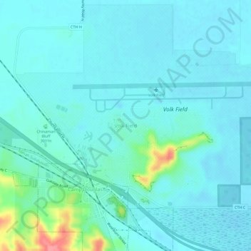
Name: Volk Field topographic map, elevation, terrain.
Average elevation: 283 m
Minimum elevation: 271 m
Maximum elevation: 353 m
Make a donation
Gear up for your next adventure:
As an Amazon Associate, this site earns from qualifying purchases at no extra cost to you.
Other topographic maps
Click on a map to view its topography, its elevation and its terrain.
Rocky Arbor State Park
United States > Wisconsin > Juneau County > Wisconsin Dells
Average elevation: 278 m
Make a donation
Gear up for your next adventure:
As an Amazon Associate, this site earns from qualifying purchases at no extra cost to you.
Mauston
United States > Wisconsin > Juneau County
Mauston is located at 43°48′N 90°5′W / 43.800°N 90.083°W / 43.800; -90.083 (43.798, -90.077). It is in the Central Standard time zone. Elevation is 883 feet.
Average elevation: 271 m
Make a donation
Gear up for your next adventure:
As an Amazon Associate, this site earns from qualifying purchases at no extra cost to you.