

Albert Lea topographic map
Click on the map to display elevation.
Albert Lea
The city is named after Albert Lea Lake, which was named after Albert Miller Lea, a topographer with the United States Dragoons, who surveyed southern Minnesota and northern Iowa in 1835, including the current site of Albert Lea. Captain Nathan Boone, a son of Daniel Boone, was the scout for Lea's unit.
About this map
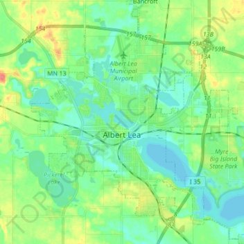
Name: Albert Lea topographic map, elevation, terrain.
Location: Albert Lea, Freeborn County, Minnesota, 56007, United States (43.60421 -93.41865 43.70212 -93.29854)
Average elevation: 382 m
Minimum elevation: 365 m
Maximum elevation: 421 m