
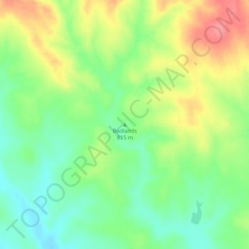
Badlands topographic map
Click on the map to display elevation.
About this map
Name: Badlands topographic map, elevation, terrain.
Location: Badlands, Perkins County, South Dakota, United States (45.22077 -102.73105 45.22087 -102.73095)
Average elevation: 827 m
Minimum elevation: 792 m
Maximum elevation: 875 m