Geolocate

Sector 32 topographic map

Click on the map to display elevation.

About this map
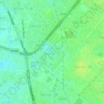
Name: Sector 32 topographic map, elevation, terrain.

Location: Sector 32, Gurgaon, Gurugram District, Haryana, India (28.44047 77.03589 28.45184 77.04764)

Average elevation: 228 m

Minimum elevation: 221 m

Maximum elevation: 235 m

Gear up for your next adventure:

☕Camping Coffee Maker - Brew fresh coffee anywhere on the topographic map
🥾Trail Hiking Boots - Supportive boots for rough trails
🔭Outdoor Binoculars - Lightweight binoculars for birdwatching and hiking
🦯Trekking Poles - Reduced impact on joints for steep topographic climbs
🧭GPS Outdoor Watch - Smart watch for navigation and fitness tracking in nature

As an Amazon Associate, this site earns from qualifying purchases at no extra cost to you.