Geolocate

San Zenon topographic map

Click on the map to display elevation.

About this map

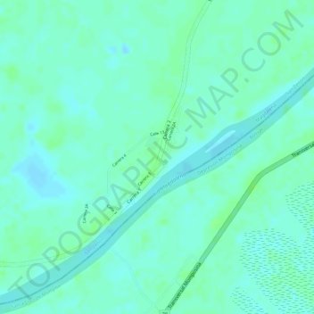
Name: San Zenon topographic map, elevation, terrain.

Location: San Zenon, San Zenón, Magdalena, RAP Caribe, Colombia (9.24060 -74.50286 9.25288 -74.49492)

Average elevation: 19 m

Minimum elevation: 14 m

Maximum elevation: 24 m

Gear up for your next adventure:

🔨Vehicle Emergency Tool - Safety tool for remote road trips to trailheads
👖Convertible Hiking Pants - Zip-off legs to adapt to changing weather conditions
Family Camping Tent - Spacious tent suitable for family camping trips
🔥Camping Stove - Portable stoves to cook outdoors with ease
🧴Outdoor Sunscreen - High SPF protection for high-altitude UV exposure

As an Amazon Associate, this site earns from qualifying purchases at no extra cost to you.