Geolocate

Bugsuk River topographic map

Click on the map to display elevation.

About this map

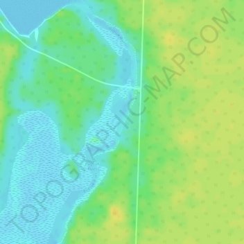
Name: Bugsuk River topographic map, elevation, terrain.

Location: Bugsuk River, Balabac, Palawan, Mimaropa, Philippines (8.29036 117.29818 8.31922 117.30816)

Average elevation: 12 m

Minimum elevation: -1 m

Maximum elevation: 23 m

Other topographic maps

Click on a map to view its topography, its elevation and its terrain.

Mantangule Island

Philippines > Palawan > Balabac

Average elevation: 4 m

Bancalan Island

Philippines > Palawan > Balabac

Average elevation: 6 m

Bancalan Island

Philippines > Palawan > Balabac

Average elevation: 6 m

Gear up for your next adventure:

Camping Groundsheet - Protect your tent from moisture and dirt
🚑Survival Whistle - Signal for help across long distances in mountains
🥾Lightweight Hiking Shoes - Comfortable shoes for day hikes
🧣Evaporative Cooling Towel - Beat the heat during intense summer climbs
🧢Hiking Hat - Sun-protective and breathable hats for long treks

As an Amazon Associate, this site earns from qualifying purchases at no extra cost to you.