
Thank you for supporting this site ❤️
Make a donation
Make a donation
Gear up for your next adventure:
As an Amazon Associate, this site earns from qualifying purchases at no extra cost to you.
Kisagani topographic map
Click on the map to display elevation.
Thank you for supporting this site ❤️
Make a donation
Make a donation
Gear up for your next adventure:
As an Amazon Associate, this site earns from qualifying purchases at no extra cost to you.
About this map
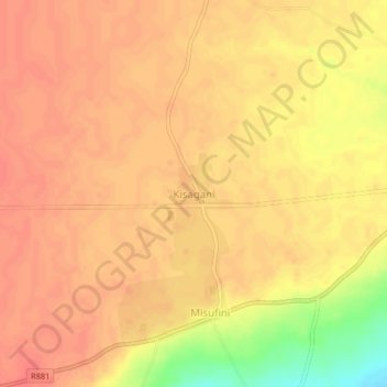
Name: Kisagani topographic map, elevation, terrain.
Location: Kisagani, Tandahimba, Mtwara Region, Coastal Zone, Tanzania (-10.85137 39.75145 -10.81137 39.79145)
Average elevation: 234 m
Minimum elevation: 195 m
Maximum elevation: 246 m
Thank you for supporting this site ❤️
Make a donation
Make a donation
Gear up for your next adventure:
As an Amazon Associate, this site earns from qualifying purchases at no extra cost to you.