
Gornja Kovačica topographic map
Interactive map
Click on the map to display elevation.
About this map
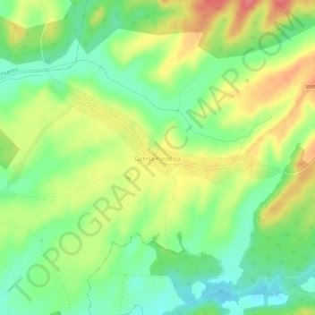
Name: Gornja Kovačica topographic map, elevation, terrain.
Location: Gornja Kovačica, Bjelovar-Bilogora County, Croatia (45.75100 17.08934 45.79100 17.12934)
Average elevation: 149 m
Minimum elevation: 115 m
Maximum elevation: 192 m