
Wilmot topographic map
Click on the map to display elevation.
About this map
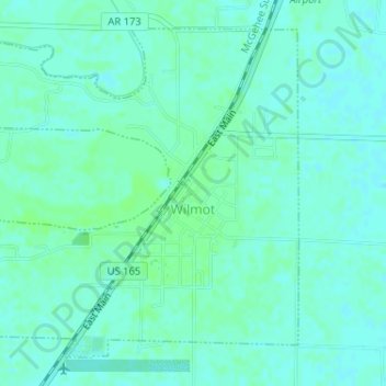
Name: Wilmot topographic map, elevation, terrain.
Location: Wilmot, Ashley County, Arkansas, United States (33.04764 -91.58954 33.07071 -91.56349)
Average elevation: 36 m
Minimum elevation: 32 m
Maximum elevation: 39 m