
Gotzenberg topographic map
Click on the map to display elevation.
Gotzenberg
Das Dorf liegt auf freier Flur im Südosten des Gemeindegebietes. Im Westen steigt das Gelände zum Fuchsberg (599 m ü. NHN) an und im Süden zum Hummersberg (568 m ü. NHN), beides bewaldete Anhöhen der Hersbrucker Alb. Eine Gemeindeverbindungsstraße führt nach See (1,2 km nordwestlich) bzw. nach Thalheim zur Staatsstraße 2236 (1,1 km nordwestlich). Weitere Gemeindeverbindungsstraße führen nach Pollanden (1,3 km südlich) und nach Wettersberg (1,8 km südwestlich).
About this map
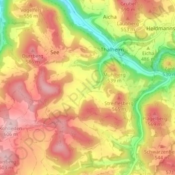
Name: Gotzenberg topographic map, elevation, terrain.
Average elevation: 509 m
Minimum elevation: 384 m
Maximum elevation: 601 m