Geolocate

San Pedro topographic map

Click on the map to display elevation.

About this map
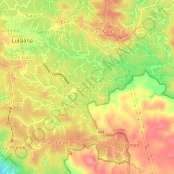
Name: San Pedro topographic map, elevation, terrain.

Location: San Pedro, Luisiana, Laguna, Calabarzon, 4032, Philippines (14.15426 121.50546 14.19426 121.54546)

Average elevation: 389 m

Minimum elevation: 336 m

Maximum elevation: 420 m

Gear up for your next adventure:

🕯️Camping Lantern - Illuminates your entire campsite with high-efficiency LEDs
🕶️Polarized Sunglasses - Reduces glare from snow and water at high elevations
🧦Hiking Liner Socks - Thin base layer to prevent friction and blisters
🛶Canoe Life Vest - Safety vest for water sports
🥾Light Hiking Boots - Lightweight and comfortable boots for day hikes

As an Amazon Associate, this site earns from qualifying purchases at no extra cost to you.