
Seven Sisters Falls topographic map
Interactive map
Click on the map to display elevation.
About this map
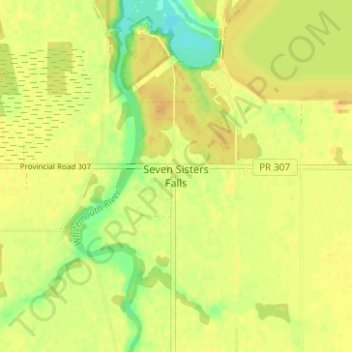
Name: Seven Sisters Falls topographic map, elevation, terrain.
Location: Seven Sisters Falls, Manitoba, Canada (50.08430 -96.04582 50.12430 -96.00582)
Average elevation: 270 m
Minimum elevation: 253 m
Maximum elevation: 276 m