Geolocate

Frisoni topographic map

Click on the map to display elevation.

About this map

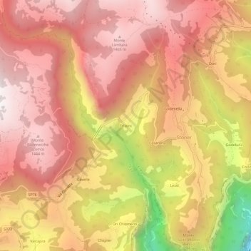
Name: Frisoni topographic map, elevation, terrain.

Location: Frisoni, Stoner, Enego, Vicenza, Veneto, 36052, Italy (45.89693 11.64161 45.93693 11.68161)

Average elevation: 1,096 m

Minimum elevation: 177 m

Maximum elevation: 1,554 m

Gear up for your next adventure:

🥾Trail Running Shoes - Lightweight and durable shoes for trail running
🪑Insulated Seat Pad - Protect your seat from cold rocks and wet logs
🧳Compression Sacks - Maximize space in your backpack by shrinking gear
🥾Mountaineering Boots - Supportive boots for climbing and high-altitude hiking
🔥Camping Stove - Portable stoves to cook outdoors with ease

As an Amazon Associate, this site earns from qualifying purchases at no extra cost to you.