Geolocate

Clear Lake topographic map

Click on the map to display elevation.

About this map

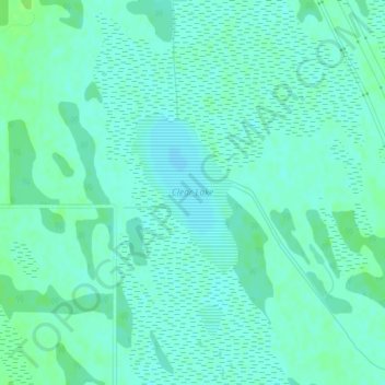
Name: Clear Lake topographic map, elevation, terrain.

Location: Clear Lake, Rural Municipality of Grahamdale, Division No. 18, Manitoba, Canada (51.35718 -98.55973 51.36837 -98.54771)

Average elevation: 251 m

Minimum elevation: 247 m

Maximum elevation: 256 m

Division No. 18 trails, hiking, mountain biking, running and outdoor activities

Other topographic maps

Click on a map to view its topography, its elevation and its terrain.

Gear up for your next adventure:

🧰Multitool Knife - Compact and versatile tool for outdoor use
💡LED Camping Lantern - Illuminate your campsite with long-lasting lanterns
🗺️Topographic Maps - Detailed maps to explore trails, mountains, and wilderness areas
🧥Fleece Jacket - Warm and lightweight jacket for layering
🧢Hiking Sun Hat - Wide-brimmed protection for exposed mountain ridges

As an Amazon Associate, this site earns from qualifying purchases at no extra cost to you.