
દદ્ધર નાની topographic map
Interactive map
Click on the map to display elevation.
About this map
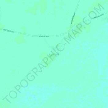
Name: દદ્ધર નાની topographic map, elevation, terrain.
Location: દદ્ધર નાની, Bhuj Taluka, Kutch District, Gujarat, 370510, Inde (23.67719 69.79151 23.71719 69.83151)
Average elevation: 7 m
Minimum elevation: 4 m
Maximum elevation: 9 m