Geolocate

Armorano topographic map

Click on the map to display elevation.

About this map
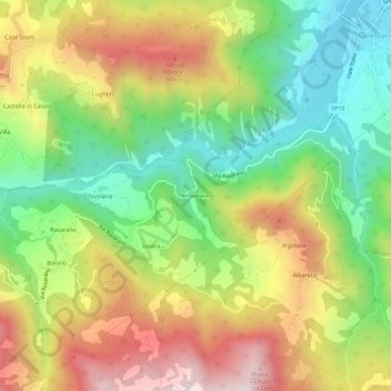
Name: Armorano topographic map, elevation, terrain.

Location: Armorano, Calestano, Parma, Emilia-Romagna, Italia (44.56425 10.07704 44.60425 10.11704)

Average elevation: 686 m

Minimum elevation: 387 m

Maximum elevation: 1,058 m

Gear up for your next adventure:

🗺️Topographic Maps - Detailed maps to explore trails, mountains, and wilderness areas
🔥Emergency Fire Starter - Reliable ignition source for all weather conditions
⛺Tent Footprint - Protect tent floor and increase durability
🥾Light Trekking Boots - Supportive boots for multi-day treks
🔋Lithium AA Batteries - Long-lasting power that performs in extreme cold

As an Amazon Associate, this site earns from qualifying purchases at no extra cost to you.