
Belturbet topographic map
Interactive map
Click on the map to display elevation.
About this map
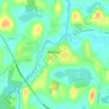
Name: Belturbet topographic map, elevation, terrain.
Average elevation: 56 m
Minimum elevation: 42 m
Maximum elevation: 82 m
Other topographic maps
Click on a map to view its topography, its elevation and its terrain.
Cavan-Belturbet Municipal District
Cavan-Belturbet Municipal District, Comté de Cavan, Ulster, Irlande
Average elevation: 111 m
Mayo
Mayo, Cootehill Rural ED, Bailieborough-Cootehill Municipal District, Comté de Cavan, Irlande
Average elevation: 132 m
Poles
Poles, Moynehall ED, Cavan-Belturbet Municipal District, Comté de Cavan, Irlande
Average elevation: 112 m