Geolocate

Stevenson topographic map

Click on the map to display elevation.

About this map

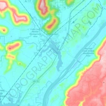
Name: Stevenson topographic map, elevation, terrain.

Location: Stevenson, Jackson County, Alabama, 35772, United States (34.75849 -85.90094 34.91654 -85.78581)

Average elevation: 247 m

Minimum elevation: 176 m

Maximum elevation: 495 m

Gear up for your next adventure:

🧭GPS Outdoor Watch - Smart watch for navigation and fitness tracking in nature
🚑Survival Whistle - Signal for help across long distances in mountains
🧦Crew Hiking Socks - Comfortable socks for long-distance hikes
🧢Hiking Hat - Sun-protective and breathable hats for long treks
🚲Handlebar Phone Mount - View topographic-map.com live while cycling

As an Amazon Associate, this site earns from qualifying purchases at no extra cost to you.