
Sidi Khaled topographic map
Interactive map
Click on the map to display elevation.
About this map
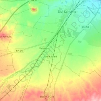
Name: Sidi Khaled topographic map, elevation, terrain.
Location: Sidi Khaled, daïra Sidi Lahcene, Sidi Bel Abbès, 22008, RADP (35.08621 -0.78067 35.15261 -0.63627)
Average elevation: 537 m
Minimum elevation: 480 m
Maximum elevation: 624 m