Geolocate

07650 topographic map

Click on the map to display elevation.

About this map

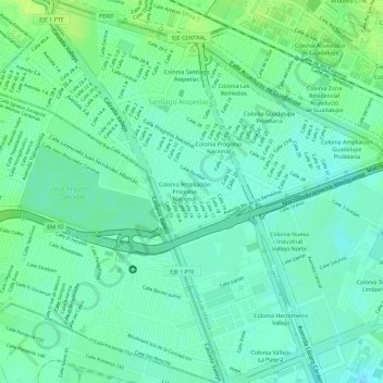
Name: 07650 topographic map, elevation, terrain.

Location: 07650, Gustavo A. Madero, Mexico City, Mexico (19.51641 -99.15959 19.51651 -99.15949)

Average elevation: 2,242 m

Minimum elevation: 2,234 m

Maximum elevation: 2,250 m

Other topographic maps

Click on a map to view its topography, its elevation and its terrain.

Ajusco

Mexico > Mexico City

Average elevation: 3,559 m

Gear up for your next adventure:

🔥Emergency Fire Starter - Reliable ignition source for all weather conditions
👟Leg Gaiters - Keep debris, mud, and snow out of your boots
🥤Collapsible Travel Cup - Saves space and weight in your mess kit
🔦LED Flashlight - Powerful and long-lasting flashlight for camping and emergencies
🧦Outdoor Socks - Durable socks designed for hiking and outdoor sports

As an Amazon Associate, this site earns from qualifying purchases at no extra cost to you.