
Maitland River topographic map
Interactive map
Click on the map to display elevation.
About this map
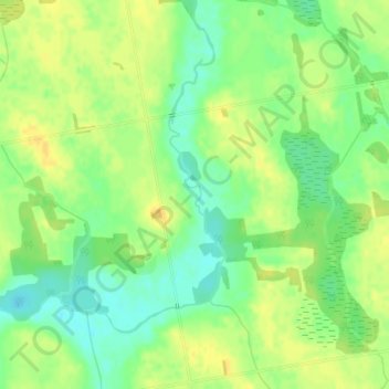
Name: Maitland River topographic map, elevation, terrain.
Location: Maitland River, Minto, Wellington County, Ontario, Canada (43.87067 -80.92889 43.88045 -80.92355)
Average elevation: 376 m
Minimum elevation: 362 m
Maximum elevation: 386 m