
Spaarnwoude topographic map
Interactive map
Click on the map to display elevation.
About this map
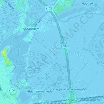
Name: Spaarnwoude topographic map, elevation, terrain.
Location: Spaarnwoude, Nordholland, Niederlande, 2064, Niederlande (52.38382 4.67512 52.42382 4.71512)
Average elevation: -1 m
Minimum elevation: -7 m
Maximum elevation: 18 m