Geolocate

Kula Atlagić topographic map

Click on the map to display elevation.

About this map

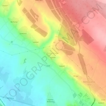
Name: Kula Atlagić topographic map, elevation, terrain.

Location: Kula Atlagić, Grad Benkovac, Zadar County, 23420, Croatia (44.03504 15.57810 44.07504 15.61810)

Average elevation: 214 m

Minimum elevation: 146 m

Maximum elevation: 288 m

Other topographic maps

Click on a map to view its topography, its elevation and its terrain.

Donji Karin

Croatia > Zadar County > Grad Benkovac

Average elevation: 180 m

Gear up for your next adventure:

🧢Outdoor Visor - Breathable visor for sunny hikes
💧Collapsible Water Bottle - Space-saving water bottle for outdoor activities
📷Outdoor Action Camera - Capture high-elevation views and rugged adventures
🥾Waterproof Hiking Shoes - Durable shoes for wet and rugged trails
💡Compact LED Flashlight - Powerful and portable flashlight for outdoor use

As an Amazon Associate, this site earns from qualifying purchases at no extra cost to you.