
Reserva Natural de la Sociedad Civil El Porvenir topographic map
Interactive map
Click on the map to display elevation.
About this map
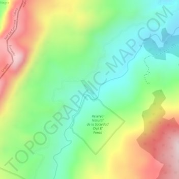
Name: Reserva Natural de la Sociedad Civil El Porvenir topographic map, elevation, terrain.
Average elevation: 2,383 m
Minimum elevation: 2,206 m
Maximum elevation: 2,624 m