Geolocate

Confluence Park topographic map

Click on the map to display elevation.

About this map

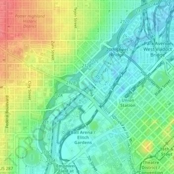
Name: Confluence Park topographic map, elevation, terrain.

Location: Confluence Park, Highland, Denver, Colorado, United States (39.75409 -105.00999 39.75546 -105.00794)

Average elevation: 1,597 m

Minimum elevation: 1,573 m

Maximum elevation: 1,638 m

Gear up for your next adventure:

🥾Lightweight Hiking Shoes - Comfortable shoes for day hikes
Tent Footprint - Protect tent floor and increase durability
🧴Outdoor Sunscreen - High SPF protection for high-altitude UV exposure
🧭GPS Outdoor Watch - Smart watch for navigation and fitness tracking in nature
🥘Camping Cookware Set - Compact nesting pots and pans for trail cooking

As an Amazon Associate, this site earns from qualifying purchases at no extra cost to you.