Geolocate

Port Douglas topographic map

Click on the map to display elevation.

About this map

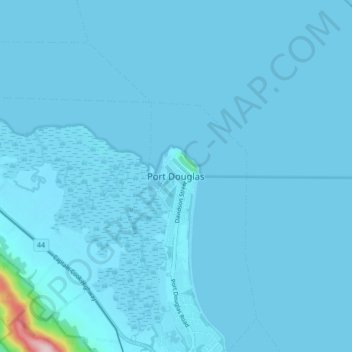
Name: Port Douglas topographic map, elevation, terrain.

Location: Port Douglas, Queensland, 4877, Australia (-16.52460 145.42363 -16.44460 145.50363)

Average elevation: 8 m

Minimum elevation: 0 m

Maximum elevation: 338 m

Gear up for your next adventure:

🧦Thermal Socks - Warm socks for winter hiking or camping
🏕️Camping Hammock - Integrated protection for sleeping between trees
🛌Insulated Sleeping Pad - Critical thermal barrier between you and the cold ground
❄️Traction Ice Cleats - Slip-on spikes for icy trails and winter hiking
🚲MTB Frame Bag - Carry tools and maps directly on your bicycle frame

As an Amazon Associate, this site earns from qualifying purchases at no extra cost to you.