
Chiguata topographic map
Interactive map
Click on the map to display elevation.
About this map
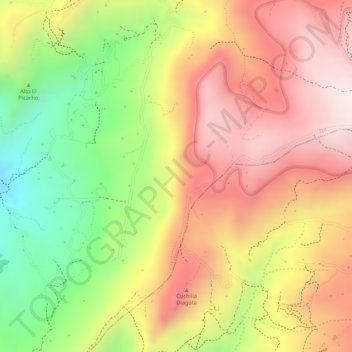
Name: Chiguata topographic map, elevation, terrain.
Location: Chiguata, Iza, Boyacá, Colombia (5.59941 -72.96007 5.61941 -72.94007)
Average elevation: 2,963 m
Minimum elevation: 2,659 m
Maximum elevation: 3,185 m