Geolocate

Valdosta topographic map

Click on the map to display elevation.

About this map

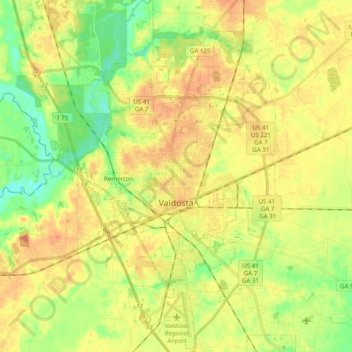
Name: Valdosta topographic map, elevation, terrain.

Location: Valdosta, Lowndes County, Georgia, United States (30.76171 -83.34451 30.92885 -83.22193)

Average elevation: 58 m

Minimum elevation: 30 m

Maximum elevation: 85 m

Gear up for your next adventure:

Backpacking Tent - Lightweight tent for long-distance hiking trips
🚲Bike Repair Kit - Essential tools for on-trail mechanical issues
🧦Hiking Liner Socks - Thin base layer to prevent friction and blisters
💧Hydration Bladder - Hands-free hydration solution for long treks
🧢Outdoor Visor - Breathable visor for sunny hikes

As an Amazon Associate, this site earns from qualifying purchases at no extra cost to you.