Geolocate

Bon Dialgam topographic map

Click on the map to display elevation.

About this map

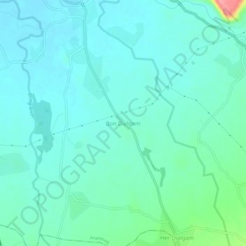
Name: Bon Dialgam topographic map, elevation, terrain.

Location: Bon Dialgam, Anantnag, Jammu and Kashmir, 192210, India (33.68042 75.13855 33.72042 75.17855)

Average elevation: 1,615 m

Minimum elevation: 1,597 m

Maximum elevation: 1,701 m

Gear up for your next adventure:

🧦Outdoor Socks - Durable socks designed for hiking and outdoor sports
🛌Insulated Sleeping Pad - Critical thermal barrier between you and the cold ground
🧰Multitool Knife - Compact and versatile tool for outdoor use
Backpacking Tent - Lightweight tent for long-distance hiking trips
🚲MTB Frame Bag - Carry tools and maps directly on your bicycle frame

As an Amazon Associate, this site earns from qualifying purchases at no extra cost to you.